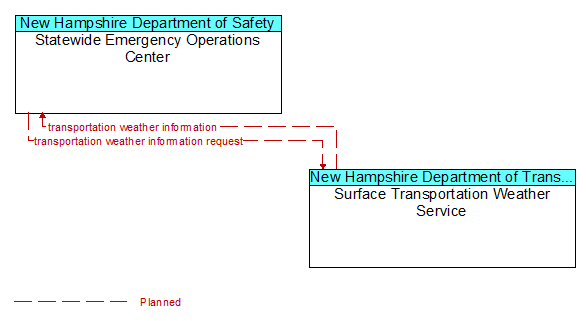
Interface: Statewide Emergency Operations Center - Surface Transportation Weather Service
Architecture Flow Definitions
transportation weather information (Planned) Applicable ITS Standards
Current and forecast road conditions and weather information (e.g., surface condition, flooding, wind advisories, visibility, etc.) associated with the transportation network. This information is of a resolution, timeliness, and accuracy to be useful in transportation decision making.
transportation weather information request (Planned) Applicable ITS Standards
A request for transportation weather information that may specify the area of interest (a geographic region, particular routes within a region, specific road segments), the type of information that is required, the desired spatial resolution of the information, and time horizon.